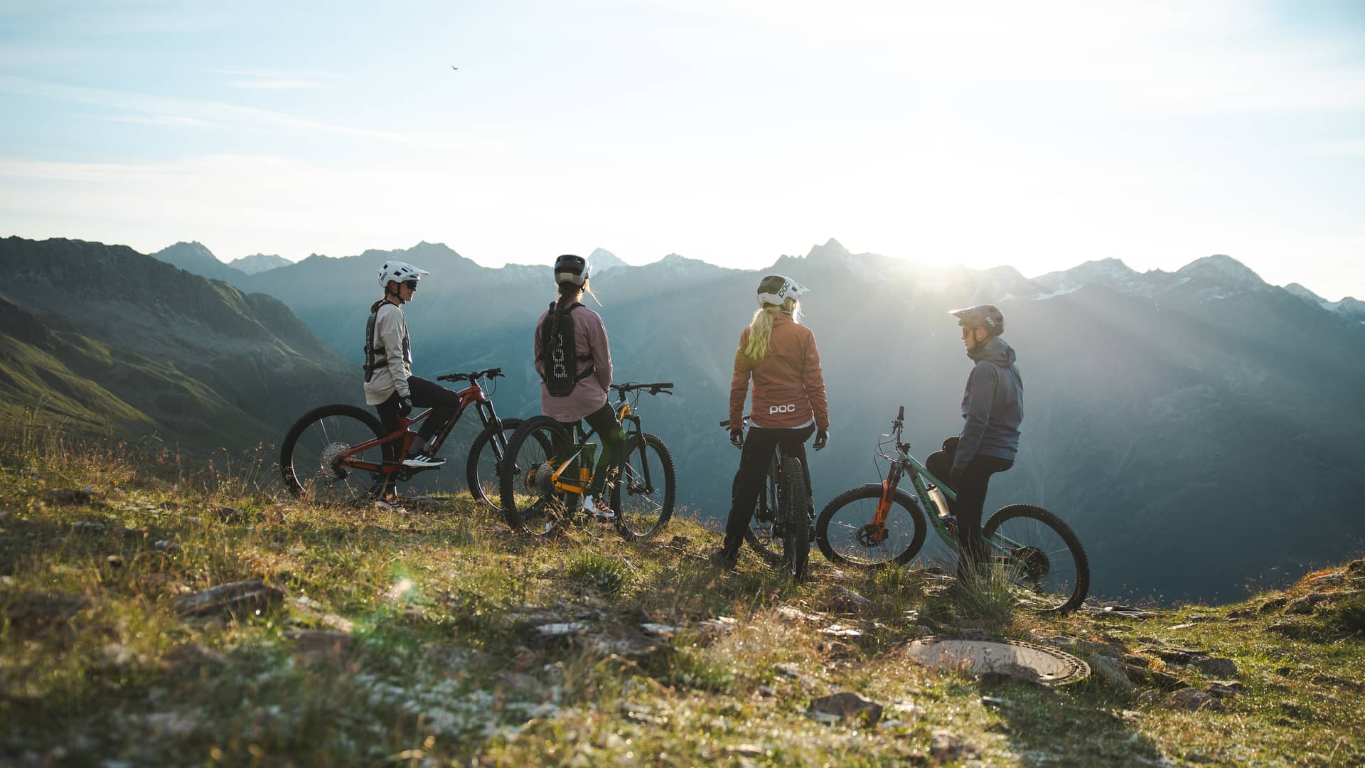
The Giggijoch gondola is 70 m from the house. From there you head into the Bike Republic and onto the hiking trails.
Mountain biking
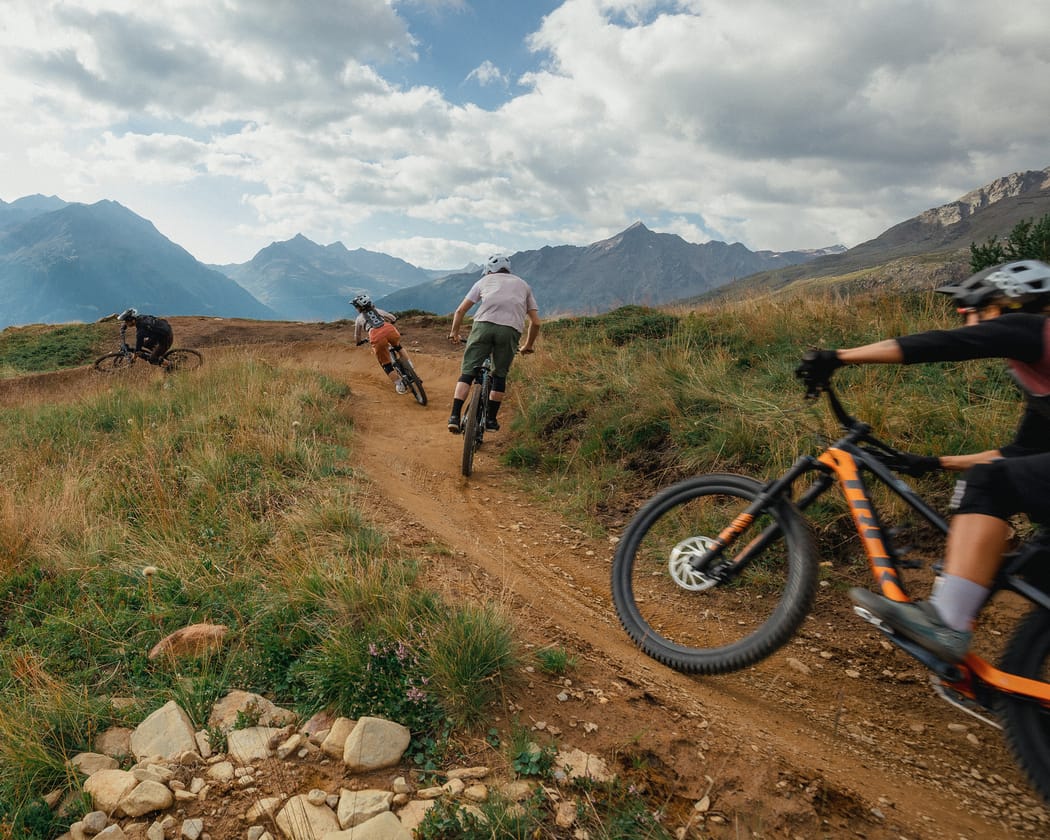
Ride the lift up, ride the trail down.
The Giggijoch gondola is your way into the Bike Republic Sölden. Harbe Line and Gahe Line are ideal for warming up. LETTN LINE (6009) brings you back and ends about 130 m from the house.
Bike room with sockets for e-bikes, repair stand and tools on request
Locker with boot dryer, handy for cycling gear in summer
In summer, our partner Sport Brugger hires out bikes and e-bikes at its shops in the centre and at the Gaislachkogl gondola, from road bikes to downhill bikes. Brands include Rotwild, Santa Cruz, COMMENCAL, Cannondale and Merida.
The Giggijoch gondola takes your bike in the cabin. Harbe, Gahe and Lettn Line are marked blue and good for warming up. The three red routes are for advanced riders. Bike transport is not included in the Ötztal Summer Card. But with the card you get reduced bike tickets at the Giggijoch and Gaislachkogl ticket desks.
From the Giggijoch top station to Hochsölden: 2.2 km and 178 m of descent. Marked blue, flowy and with views, partly exposed above the tree line.
GAHE LINE (6028)
From Hochsölden to Grünwald: approx. 7.4 km and approx. 620 m of descent. Marked blue, with berms and rollers, first over open ground, then through the forest.
LETTN LINE (6009)
From Brandle to the Giggijoch valley station: 1.5 km and 127 m of descent, through forest and meadows with wooden features. It ends about 130 m from the house.
LEITERBERG TRAIL (672)
Natural trail from Hochsölden towards the valley: 4.7 km and 585 m of descent. Marked red, technical with roots, rocks and hairpins through the forest. Via the Lettn Line you roll down to the Giggijoch valley station, about 130 m from the house.
OLLWEITE LINE (6010)
From the Langegg chairlift below the Rotkoglhütte to Hühnersteign: 6.8 km and 687 m of descent. Marked red, physically and technically demanding, with berms, jumps, a rock garden and wooden features.
HUPFAR LINE (6036)
New jump line from the Wasserkar lift, reached via the Gaislachkogl middle station: 2.8 km and 275 m of descent. Marked red, with tables, rollers and jumps. Roll over them or take off, with an expert and an intermediate line.
Hiking
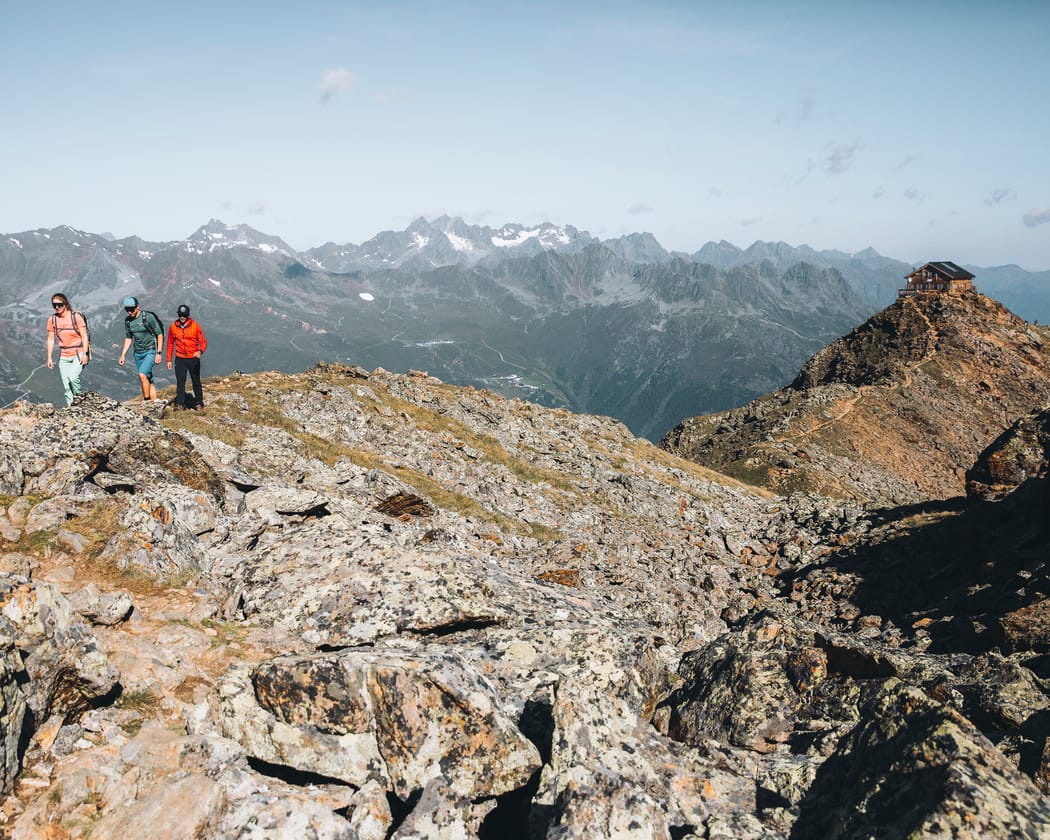
On foot to over 3,000 m.
From the Freizeit Arena it is about a 4-hour hike to the Brunnenkogelhaus (2,738 m). With the Summer Card you take the bus to Vent or Obergurgl. In Vent the chairlift takes you to Stablein. From there it takes about 3 hours to climb the Wilde Mannle (3,019 m). In Obergurgl you ride up with the Hohe Mut lift and hike back via the Schönwieshütte. Bus and lifts are included.
Schwarzkogl (3,016 m) in approx. 2.5 hours from the Giggijoch
Wildes Mannle (3,019 m) from Vent in approx. 3 hours
We recommend an easy high-level walk, a 3,000-metre peak from the Giggijoch and a bike-and-hike tour.
Easy hike
Gaislachkogl middle station to Sonnblick
On this high-level walk you stay between 2,005 and 2,181 m. You go up and down by lift.
Difficulty
T1, easy
Distance
4.9 km
Time
approx. 1:30 h
Ascent
109 m
Descent
186 m
Highest point
2,181 m
Route description
Take the Gaislachkogl gondola to the middle station. From there follow the hiking path to the toll station on the glacier road, then via the Hühnersteige to the Gampe Alm (Gampe Thaya) and on to the Sonnblick in Hochsölden. The Rotkogl lift takes you up to the Giggijoch, and the Giggijoch gondola brings you back down, 70 m from our ski room.
3,000-metre peak
Giggijoch to Schwarzkogl
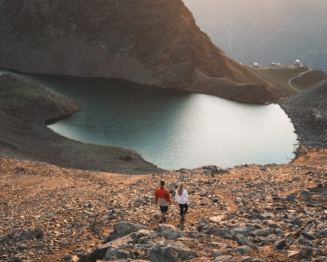
From the Giggijoch top station you climb to 3,016 m, past the Rotkoglhütte and the Schwarzsee lake.
Difficulty
T2, moderate
Distance
4.7 km
Time
approx. 2:28 h
Ascent
740 m
Descent
1 m
Highest point
3,016 m
Route description
The starting point is the Giggijoch top station (2,284 m). A well-trodden path leads via the Rotkoglhütte (approx. 2,660 m) and past the Schwarzsee lake (2,790 m) to the summit of the Schwarzkogl. The last section crosses rockier ground and requires sure footing.
Bike and Hike
By bike and on foot to the Siegerlandhütte
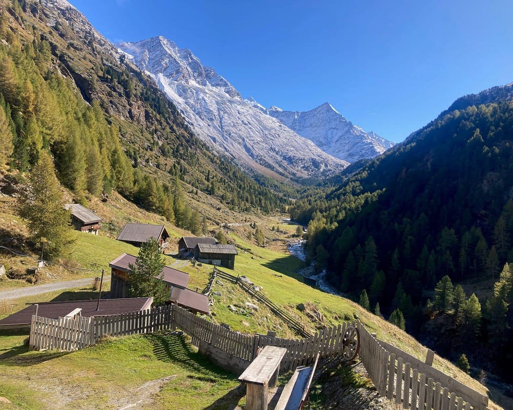
From HEINERS you ride your bike through the Windachtal valley. Then you walk to the Siegerlandhütte at 2,710 m.
Bike: HEINERS to the Hildesheimer Hütte goods cable car
Difficulty
S1, moderate
Distance
9.9 km
Time
approx. 2:37 h
Ascent
776 m
Hike: goods cable car to the Siegerlandhütte
Difficulty
T3, moderate
Distance
5 km
Time
approx. 2:21 h
Ascent
591 m
Route description
From HEINERS you cycle to the Freizeit Arena and up via Granbichl to the quiet side of Sölden. The track leads via the Lochle Alm to Fiegl's Gasthaus. From there the wide track through the Windachtal valley is easy to find. You ride approx. 3 km along it to the goods cable car of the Hildesheimer Hütte. From here the track becomes a narrow path: you cross a stream and continue towards the Siegerlandhütte. Soon a marked route winds steeply up the wide cirque to the Siegerlandhütte at 2,710 m.
Times and heights are approximate. Plan around the weather, your fitness and the lift opening times.
Relaxing
A break from the heat at 1,368 m.
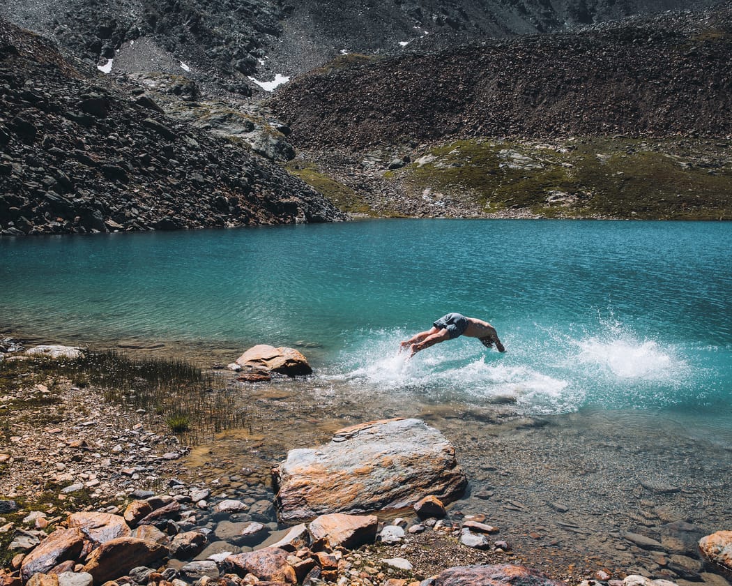
Sölden lies at 1,368 m, the Giggijoch top station at around 2,280 m. When the valley heats up, the mountain air up here stays fresh. When it rains, go to the Freizeit Arena Sölden with its leisure pool and sauna.
Ötztal Summer Card included in your stay
Freizeit Arena Sölden included once a day
Outdoor pools and bathing lakes in the Ötztal valley included once a day
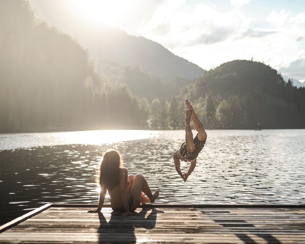
The Piburger See lies at 913 m in the middle of the forest and warms up to 24 °C. This makes it one of the warmest bathing lakes in Tyrol. Combine a swim with a hike to the Seejöchl above the lake: from there you look across the lake and the Ötztal valley.
Umhausen bathing lake
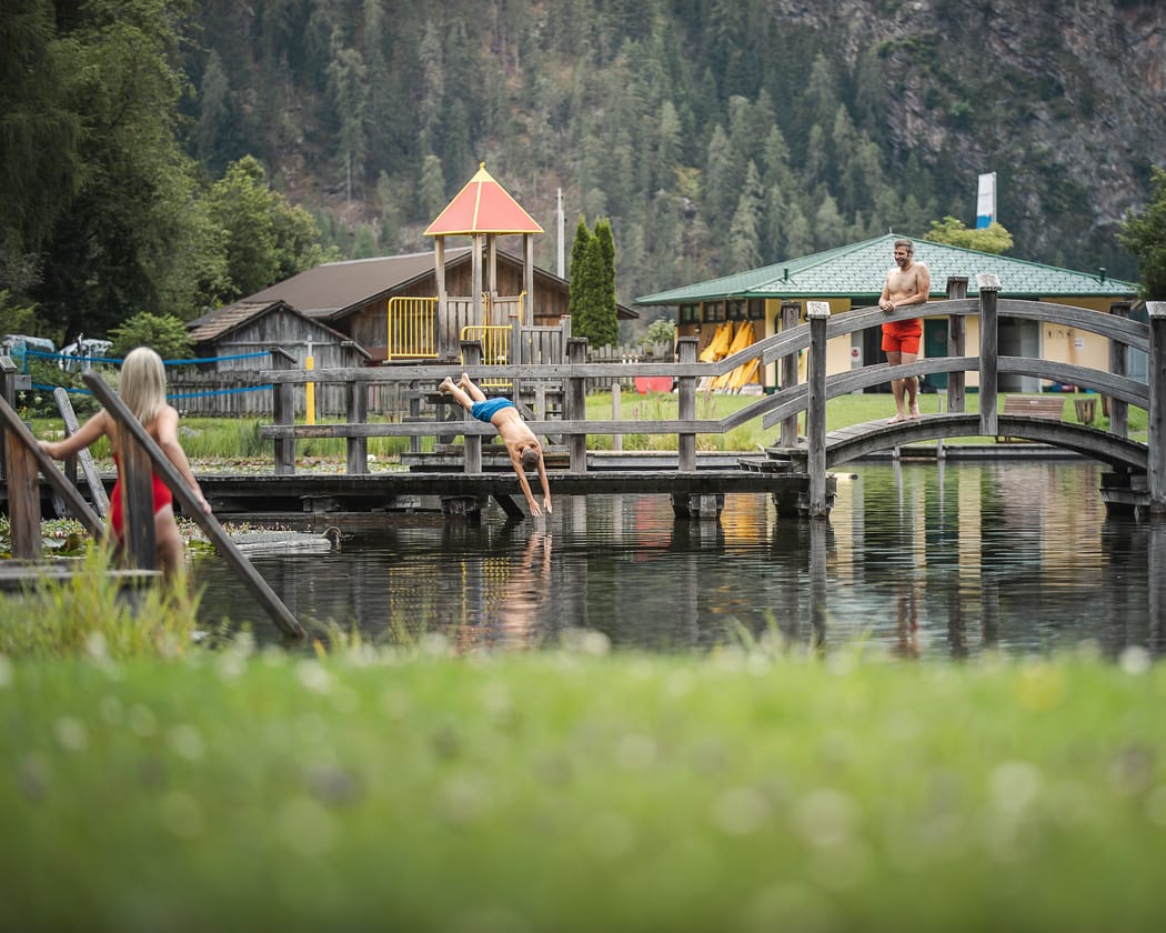
The natural bathing lake in Umhausen lies at 1,031 m and is fed by a mountain spring. In summer the water is around 22 to 24 °C. For children there are slides, a paddling pool and a playground. From the lake you can hike along the Waalweg to the Stuibenfall waterfall.
Good to know
Can I take my bike on the Giggijoch gondola?
Yes, the Giggijoch gondola takes bikes in the cabin. Bike transport is not included in the Ötztal Summer Card, but with the card you get reduced bike tickets.
Where does the mountain bike trail end?
LETTN LINE (6009) ends next to the Giggijoch multi-storey car park, about 130 m from the house.
Can I hire a bike in Sölden?
Yes. In summer, Sport Brugger hires out bikes and e-bikes at its shops in the centre and at the Gaislachkogl gondola, from road bikes to downhill bikes. At our house your bike stays in the bike room, which has CCTV and plenty of sockets for e-bikes.